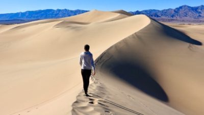
An incredible charm that of Death Valley, here's what to see, what temperatures to expect and what to know before tackling the itinerary in this part of California.
The one illustrated in this article is one of the most difficult itineraries that can be made in USA.
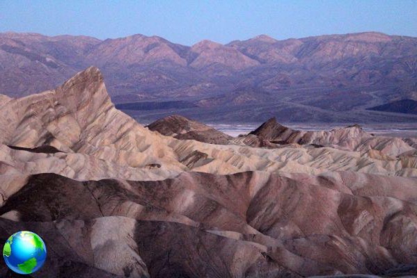
It is in fact to cross the Death Valley leaving the paved road and traveling for at least three hours some off-road trails that will take us to a magical place: The Racetrack Playa to then finish the excursion (and the day) in the mountains at 2500 meters above sea level after leaving Las Vegas which is about 500 meters above sea level; therefore the itinerary will be characterized by at least three - four hours of driving on dirt tracks, sweltering heat, dust, elevation change of about 2000 meters, no services along the route (only at Fornace Creek there is something) and a duration of about 10 hours to cover the approximately 560 km (350 miles) that make up this stage of which 166,3 , 104 (XNUMX miles) on dirt tracks.
It is very important to inquire about the practicability of the paths BEFORE to venture out and it is equally important to have enough stock up on fuel to get to your destination and also a sufficient supply of water for all participants of the excursion and possibly also for the car if needed (in the summer months here 50 degrees are exceeded in the shade) and you should also know that for most of the area crossed there is no telephone network coverage.
It is also necessary to know read the maps and understand how the compass as some paths can be obliterated by wind or sand accumulation or a sudden downpour.
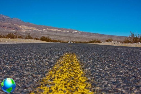
Having made the necessary premises, we examine the route that for the first 230 km, from Las Vegas to Fournace Creek, it does not present particular difficulties as it is an asphalted and straight road. It is a matter of taking the US 95 NW from Las Vegas to Amargosa Valley, joining the 373 S after about 40 km (25 miles) and then turning onto the 190 NW which must be traveled for another 80 km (50 miles). Before arriving at this intersection we recommend one stop at Fournace Creek where there is also a bar-restaurant to visit the lowest point in the USA (-84 meters) which is called Badwater.
Let's say that the "tourists" come up to here and then come back but us we continue on the same road to the intersection with Scotty's Castle Road. Here the road narrows but still remains asphalted and we travel about 60 km north-west to get to an ancient volcanic crater called Ubehebe Crater.
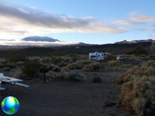
We often found strong winds here so be careful not to go too far on the edge of the crater. For those interested in a campsite in the middle of the desert about 10 km before arriving at the Ubehebe Crater, there is, on the left, a small road called Mesquite Road leading to the Mesquite spring Campground which is 120 meters lower than the road. Find out first about the usability of the campsite.
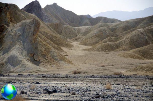
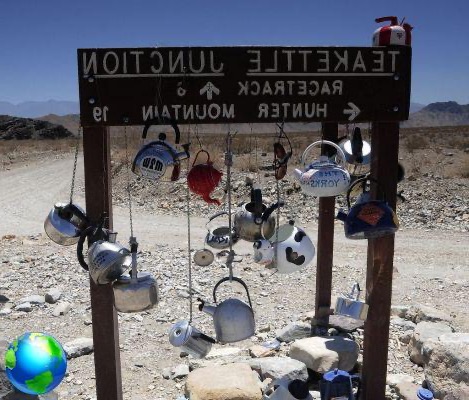
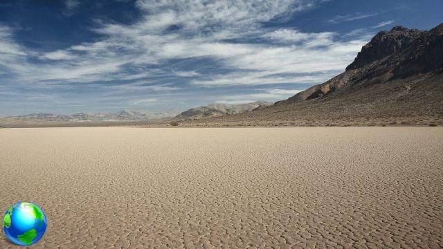
After the Ubehebe Crater begins the dirt track that goes south-southwest for about 42 km (26,5 miles) until it brings us to the Racetrack Playa. It is an expanse of sand where you can observe the curious phenomenon of walking rocks leaving conspicuous signs of their path that is not only in a straight line, as we all might think, but makes sudden deviations, goes back, then starts again forwards or in any other direction leaving bewildered by the behavior of these small stones as well as the huge boulders that they seem to be moved by some unknown force.
Is one amazing show. Getting out of the Racetrack Playa involves some difficulties and you need to have a good knowledge of off-road cars and low gears because you have to overcome a difference in height (downhill) of about 500 meters with numerous tight hairpin bends on a dirt track and not always compact.
You then arrive at the intersection with the Saline Road which must be taken to the right towards NW along it for about 106 km (67 miles) along a salt lake and entering the 395 N at the end which after about 90 km (56 miles) will take us to 2500 meters above sea level. Mammoth Lakes where you can stay overnight and find every service (it is advisable to book in advance).